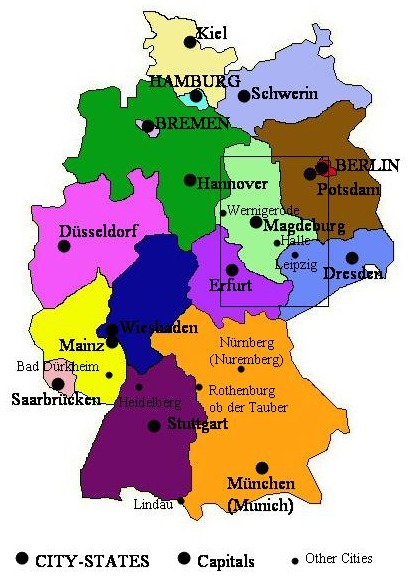
Maps of Germany
Germany consists of 16 states, 3 of which are city-states. Our ancestors originate (according to our earliest records) in the state of Saxony-Anhalt, the mint green state on this map. From there they moved into Lower Saxony (dark green), Saxony (medium blue), Thuringia (medium purple), other parts of Germany and Europe, and, eventually, worldwide. Scroll down to see the rectangular section enlarged. (Scale: 2 cm=100km)
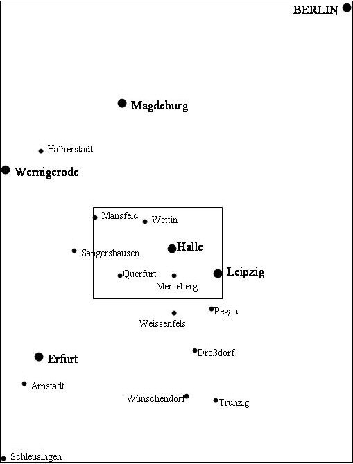
This "zoomed in" map focuses on some of the cities that our ancestors migrated to. These cities correspond more with the later family lists. Scroll down again to see the next enlargement.
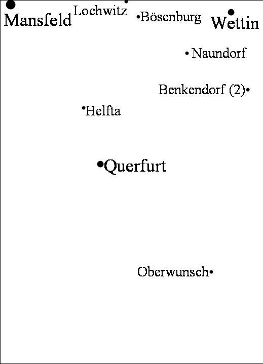
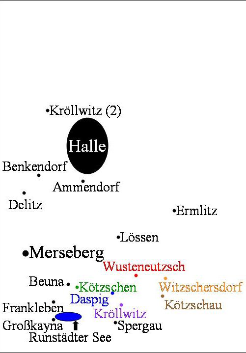
This map is on a much smaller scale (1cm=1km) and shows towns from our genealogy very close together. In some instances, two towns of the same name appeared in this region. I have labeled both towns. In the center, match the dots with the text color to figure out which dot belongs to which town.

Return to Germany and Texas